The River Eachaig
Introduction
The photograph on this page of The River Eachaig by Thomas Nugent as part of the Geograph project.
The Geograph project started in 2005 with the aim of publishing, organising and preserving representative images for every square kilometre of Great Britain, Ireland and the Isle of Man.

There are currently over 7.5m images from over 14,400 individuals and you can help contribute to the project by visiting https://www.geograph.org.uk
The River Eachaig
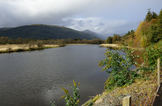
Image: © Thomas Nugent Taken: 16 Oct 2019
Removal of trees to create a new pavement (possibly as the result of river erosion) has opened up the view of the river from Shore Road.
Images are licensed for reuse under creativecommons.org/licenses/by-sa/2.0
Image Location
Latitude
56.001667
Longitude
-4.955716