Feature in the wall of Vicarage Lane, Kingsthorpe
Introduction
The photograph on this page of Feature in the wall of Vicarage Lane, Kingsthorpe by Chris as part of the Geograph project.
The Geograph project started in 2005 with the aim of publishing, organising and preserving representative images for every square kilometre of Great Britain, Ireland and the Isle of Man.

There are currently over 7.5m images from over 14,400 individuals and you can help contribute to the project by visiting https://www.geograph.org.uk
Feature in the wall of Vicarage Lane, Kingsthorpe
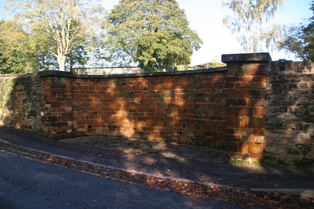
Image: © Chris Taken: 27 Oct 2019
Probably the outflow point for the water of King's Well before it was culverted under the Green in the 19th century and the water channelled into its present trough on the south side of the Green - see Image and Image
Images are licensed for reuse under creativecommons.org/licenses/by-sa/2.0
Image Location
Latitude
52.260909
Longitude
-0.906502