Path, Oakland Wood
Introduction
The photograph on this page of Path, Oakland Wood by Derek Harper as part of the Geograph project.
The Geograph project started in 2005 with the aim of publishing, organising and preserving representative images for every square kilometre of Great Britain, Ireland and the Isle of Man.

There are currently over 7.5m images from over 14,400 individuals and you can help contribute to the project by visiting https://www.geograph.org.uk
Path, Oakland Wood
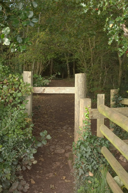
Image: © Derek Harper Taken: 20 Oct 2019
From Dawlish footpath 22. Not mapped as a right of way, but an inviting and, it appears, unforbidden route.
Images are licensed for reuse under creativecommons.org/licenses/by-sa/2.0
Image Location


Leaflet Map data © OpenStreetMap
Latitude
50.571577
Longitude
-3.47719