Canada Farm
Introduction
The photograph on this page of Canada Farm by Luke Shaw as part of the Geograph project.
The Geograph project started in 2005 with the aim of publishing, organising and preserving representative images for every square kilometre of Great Britain, Ireland and the Isle of Man.

There are currently over 7.5m images from over 14,400 individuals and you can help contribute to the project by visiting https://www.geograph.org.uk
Canada Farm
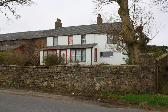
Image: © Luke Shaw Taken: 19 Apr 2018
There is an OS benchmark Image on the road face of the corner wall pier near the right hand edge of the image
Images are licensed for reuse under creativecommons.org/licenses/by-sa/2.0
Image Location
Latitude
54.567445
Longitude
-3.549596