Path junction near The Humpy
Introduction
The photograph on this page of Path junction near The Humpy by Derek Harper as part of the Geograph project.
The Geograph project started in 2005 with the aim of publishing, organising and preserving representative images for every square kilometre of Great Britain, Ireland and the Isle of Man.

There are currently over 7.5m images from over 14,400 individuals and you can help contribute to the project by visiting https://www.geograph.org.uk
Path junction near The Humpy
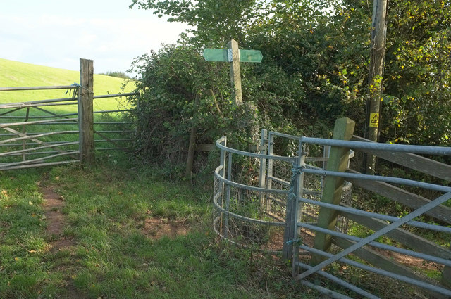
Image: © Derek Harper Taken: 20 Oct 2019
Looking behind the camera in Image], with Dawlish footpath 14 turning left uphill, and footpath 15 heading right through the kissing gate.
Images are licensed for reuse under creativecommons.org/licenses/by-sa/2.0
Image Location
Latitude
50.585509
Longitude
-3.477767