The North Port, Perth
Introduction
The photograph on this page of The North Port, Perth by Chris Holifield as part of the Geograph project.
The Geograph project started in 2005 with the aim of publishing, organising and preserving representative images for every square kilometre of Great Britain, Ireland and the Isle of Man.

There are currently over 7.5m images from over 14,400 individuals and you can help contribute to the project by visiting https://www.geograph.org.uk
The North Port, Perth
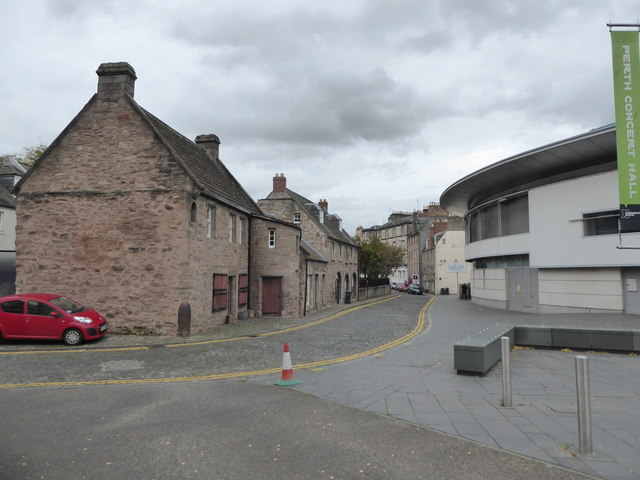
Image: © Chris Holifield Taken: 23 Oct 2019
The Fair Maid's House Visitor Centre of the Royal Scottish Geographical Society is on the left, Perth Concert Hall on the right.
Images are licensed for reuse under creativecommons.org/licenses/by-sa/2.0
Image Location


Leaflet Map data © OpenStreetMap
Latitude
56.398196
Longitude
-3.430207