Shore at Strachur
Introduction
The photograph on this page of Shore at Strachur by Trevor Littlewood as part of the Geograph project.
The Geograph project started in 2005 with the aim of publishing, organising and preserving representative images for every square kilometre of Great Britain, Ireland and the Isle of Man.

There are currently over 7.5m images from over 14,400 individuals and you can help contribute to the project by visiting https://www.geograph.org.uk
Shore at Strachur
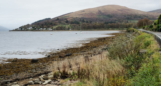
Image: © Trevor Littlewood Taken: 22 Oct 2019
The names Strachur, Clachan and Strachur Clachan occur variously on OS maps in this area on the east side of Loch Fyne, generally though it seems that the settlement is known as Strachur. The shore is part of Strachur Bay or leads to it. The hill in the distance is Creagan an Eich.
Images are licensed for reuse under creativecommons.org/licenses/by-sa/2.0
Image Location


Leaflet Map data © OpenStreetMap
Latitude
56.162801
Longitude
-5.089557