Listed building, Barton Hill, Dawlish
Introduction
The photograph on this page of Listed building, Barton Hill, Dawlish by Derek Harper as part of the Geograph project.
The Geograph project started in 2005 with the aim of publishing, organising and preserving representative images for every square kilometre of Great Britain, Ireland and the Isle of Man.

There are currently over 7.5m images from over 14,400 individuals and you can help contribute to the project by visiting https://www.geograph.org.uk
Listed building, Barton Hill, Dawlish
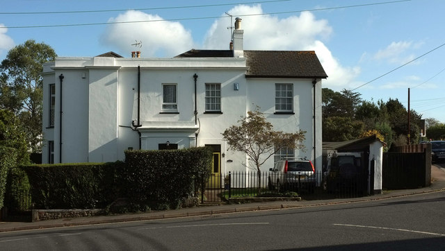
Image: © Derek Harper Taken: 20 Oct 2019
On the corner of Coryton Close (right); the main facade of the villa faces Plantation Terrace. "Shown on 1840 Tithe Map" https://historicengland.org.uk/listing/the-list/list-entry/1096676
Images are licensed for reuse under creativecommons.org/licenses/by-sa/2.0
Image Location


Leaflet Map data © OpenStreetMap
Latitude
50.579744
Longitude
-3.471372