Ainstable Low Qr Township boundary stone
Introduction
The photograph on this page of Ainstable Low Qr Township boundary stone by Christine Johnstone as part of the Geograph project.
The Geograph project started in 2005 with the aim of publishing, organising and preserving representative images for every square kilometre of Great Britain, Ireland and the Isle of Man.

There are currently over 7.5m images from over 14,400 individuals and you can help contribute to the project by visiting https://www.geograph.org.uk
Ainstable Low Qr Township boundary stone
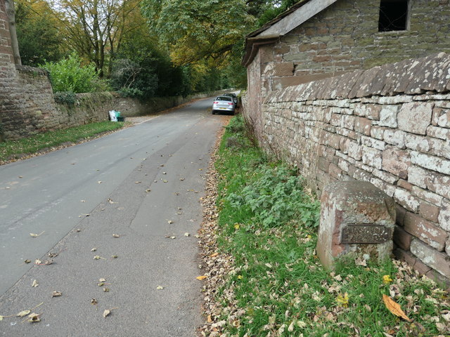
Image: © Christine Johnstone Taken: 22 Oct 2019
Near Armathwaite Place. For a close-up, see Image
Images are licensed for reuse under creativecommons.org/licenses/by-sa/2.0
Image Location
Latitude
54.806264
Longitude
-2.766487