Leiston: the former station, from the Station Road level crossing
Introduction
The photograph on this page of Leiston: the former station, from the Station Road level crossing by Christopher Hilton as part of the Geograph project.
The Geograph project started in 2005 with the aim of publishing, organising and preserving representative images for every square kilometre of Great Britain, Ireland and the Isle of Man.

There are currently over 7.5m images from over 14,400 individuals and you can help contribute to the project by visiting https://www.geograph.org.uk
Leiston: the former station, from the Station Road level crossing
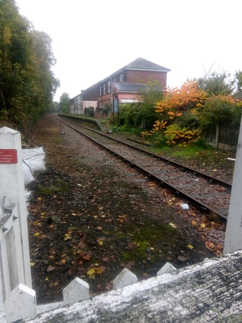
Image: © Christopher Hilton Taken: 24 Oct 2019
The line here, the former Aldeburgh branch, is open to a little beyond Leiston: it is used solely by very occasional trains carrying spent fuel from Sizewell nuclear power station.
Images are licensed for reuse under creativecommons.org/licenses/by-sa/2.0
Image Location
Latitude
52.209968
Longitude
1.573528