Path heading towards Kylintra Wood
Introduction
The photograph on this page of Path heading towards Kylintra Wood by jeff collins as part of the Geograph project.
The Geograph project started in 2005 with the aim of publishing, organising and preserving representative images for every square kilometre of Great Britain, Ireland and the Isle of Man.

There are currently over 7.5m images from over 14,400 individuals and you can help contribute to the project by visiting https://www.geograph.org.uk
Path heading towards Kylintra Wood
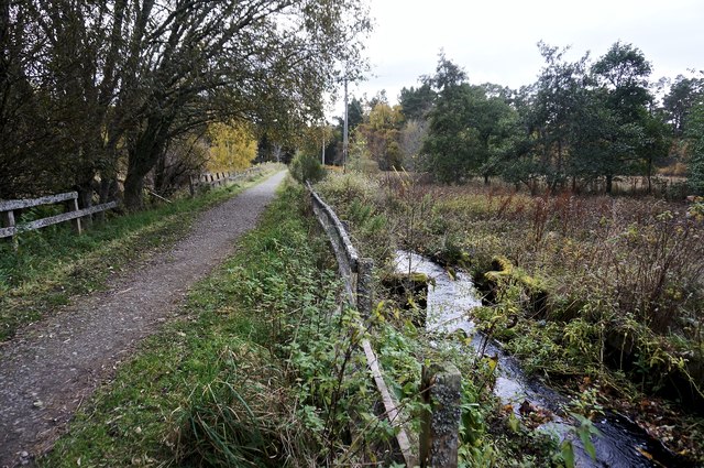
Image: © jeff collins Taken: 23 Oct 2019
On the right is the small but deep Kylintra Burn, heading towards the River Spey.
Images are licensed for reuse under creativecommons.org/licenses/by-sa/2.0
Image Location
Latitude
57.324251
Longitude
-3.614311