Gate at Kingswood Farm
Introduction
The photograph on this page of Gate at Kingswood Farm by Derek Harper as part of the Geograph project.
The Geograph project started in 2005 with the aim of publishing, organising and preserving representative images for every square kilometre of Great Britain, Ireland and the Isle of Man.

There are currently over 7.5m images from over 14,400 individuals and you can help contribute to the project by visiting https://www.geograph.org.uk
Gate at Kingswood Farm
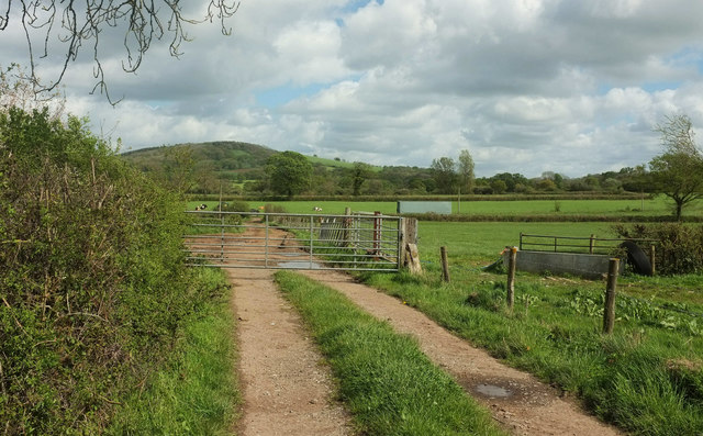
Image: © Derek Harper Taken: 27 Apr 2019
Across bridleway 40UD046 Y 10/29. At the next bend, the bridleway meets bridleway 40UD046 Y 10/27: right past the container and the telegraph pole for Whitevine Farm and Halstock, left for Hardington Marsh. In the background rises the wooded Birt's Hill, Image
Images are licensed for reuse under creativecommons.org/licenses/by-sa/2.0
Image Location


Leaflet Map data © OpenStreetMap
Latitude
50.878984
Longitude
-2.72102