Descent to the A31
Introduction
The photograph on this page of Descent to the A31 by Graham Horn as part of the Geograph project.
The Geograph project started in 2005 with the aim of publishing, organising and preserving representative images for every square kilometre of Great Britain, Ireland and the Isle of Man.

There are currently over 7.5m images from over 14,400 individuals and you can help contribute to the project by visiting https://www.geograph.org.uk
Descent to the A31
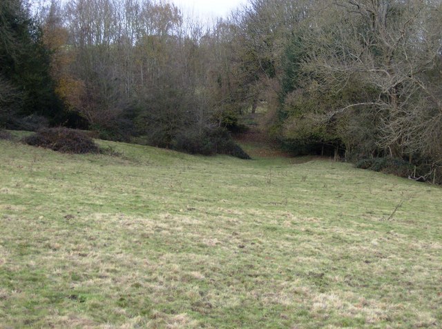
Image: © Graham Horn Taken: 25 Nov 2007
The road is well hidden in the trees. But once through the gate at the end of this field you are suddenly upon it, with the prospect of a risky crossing of the fast busy dual-carriageway to reach another footpath to the north.
Images are licensed for reuse under creativecommons.org/licenses/by-sa/2.0
Image Location


Leaflet Map data © OpenStreetMap
Latitude
51.177515
Longitude
-0.915299