Wardour House (Whitney-on-Wye)
Introduction
The photograph on this page of Wardour House (Whitney-on-Wye) by Fabian Musto as part of the Geograph project.
The Geograph project started in 2005 with the aim of publishing, organising and preserving representative images for every square kilometre of Great Britain, Ireland and the Isle of Man.

There are currently over 7.5m images from over 14,400 individuals and you can help contribute to the project by visiting https://www.geograph.org.uk
Wardour House (Whitney-on-Wye)
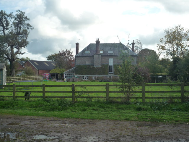
Image: © Fabian Musto Taken: 19 Oct 2019
The back side of this stone house has a very long window in height, and I was surprised to see this. This building itself used to house the old rectory for the nearby church of St. Peter and St. Paul, and this was built around 1735 to replace an older building that was destroyed by the river Wye floods.
Images are licensed for reuse under creativecommons.org/licenses/by-sa/2.0
Image Location


Leaflet Map data © OpenStreetMap
Latitude
52.120857
Longitude
-3.070696