Major House, Newport
Introduction
The photograph on this page of Major House, Newport by Richard Law as part of the Geograph project.
The Geograph project started in 2005 with the aim of publishing, organising and preserving representative images for every square kilometre of Great Britain, Ireland and the Isle of Man.

There are currently over 7.5m images from over 14,400 individuals and you can help contribute to the project by visiting https://www.geograph.org.uk
Major House, Newport
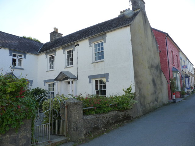
Image: © Richard Law Taken: 14 Sep 2019
Major House and its adjacent service wing Image date from the early part of the 19th century, and have been collectively Grade II listed https://britishlistedbuildings.co.uk/300012513-major-house-newport#.Xa_yNuhKhPY in 1992. They form a group in conjunction with a number of other properties of similar nature around a street junction.
Images are licensed for reuse under creativecommons.org/licenses/by-sa/2.0
Image Location
Latitude
52.015541
Longitude
-4.834758