Roofs at Breakough
Introduction
The photograph on this page of Roofs at Breakough by Anne Burgess as part of the Geograph project.
The Geograph project started in 2005 with the aim of publishing, organising and preserving representative images for every square kilometre of Great Britain, Ireland and the Isle of Man.

There are currently over 7.5m images from over 14,400 individuals and you can help contribute to the project by visiting https://www.geograph.org.uk
Roofs at Breakough
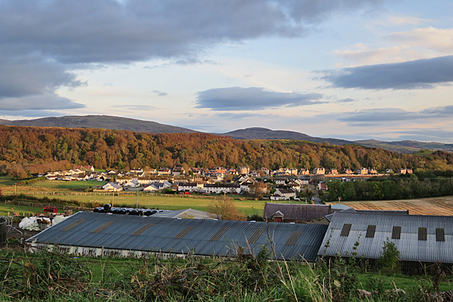
Image: © Anne Burgess Taken: 19 Oct 2019
Beyond the extensive barn roofs at Breakough are some of the houses at the head of Kames Bay. The tree-covered ridge marks the line of the Great Cumbrae Fault.
Images are licensed for reuse under creativecommons.org/licenses/by-sa/2.0
Image Location
Latitude
55.759495
Longitude
-4.925718