Maize field at Jowett House farm
Introduction
The photograph on this page of Maize field at Jowett House farm by Stephen Craven as part of the Geograph project.
The Geograph project started in 2005 with the aim of publishing, organising and preserving representative images for every square kilometre of Great Britain, Ireland and the Isle of Man.

There are currently over 7.5m images from over 14,400 individuals and you can help contribute to the project by visiting https://www.geograph.org.uk
Maize field at Jowett House farm
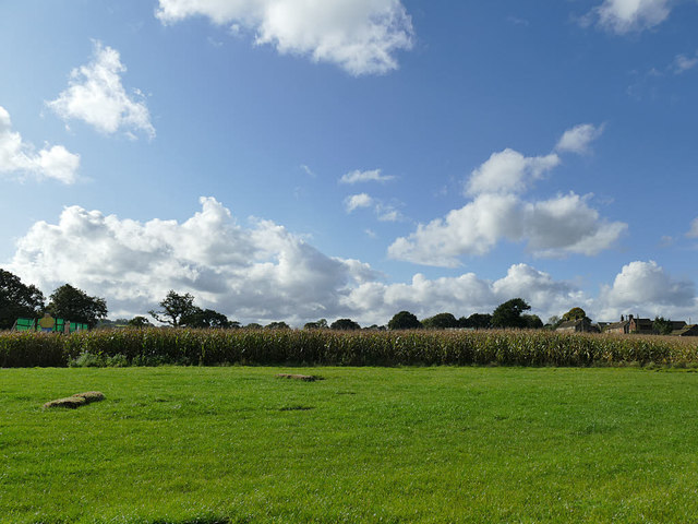
Image: © Stephen Craven Taken: 17 Oct 2019
This appears to be the location for a seasonal 'maize maze', the pattern of which is not visible from ground level.
Images are licensed for reuse under creativecommons.org/licenses/by-sa/2.0
Image Location
Latitude
53.566845
Longitude
-1.595009