Stubble field by The Clive in Staffordshire
Introduction
The photograph on this page of Stubble field by The Clive in Staffordshire by Roger Kidd as part of the Geograph project.
The Geograph project started in 2005 with the aim of publishing, organising and preserving representative images for every square kilometre of Great Britain, Ireland and the Isle of Man.

There are currently over 7.5m images from over 14,400 individuals and you can help contribute to the project by visiting https://www.geograph.org.uk
Stubble field by The Clive in Staffordshire
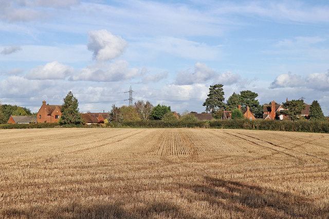
Image: © Roger Kidd Taken: 16 Oct 2019
A telephoto assisted image looking across the corn field. This is about a mile south of Pattingham. The view north-east towards The Clive is from the bridleway which leads along the ridge of the sandstone escarpment. It is worth noting that the path is NOT across the middle of the field as still located on maps.
Images are licensed for reuse under creativecommons.org/licenses/by-sa/2.0
Image Location
Latitude
52.57521
Longitude
-2.260695