Cinder Hill bridge, Cawthorne
Introduction
The photograph on this page of Cinder Hill bridge, Cawthorne by Stephen Craven as part of the Geograph project.
The Geograph project started in 2005 with the aim of publishing, organising and preserving representative images for every square kilometre of Great Britain, Ireland and the Isle of Man.

There are currently over 7.5m images from over 14,400 individuals and you can help contribute to the project by visiting https://www.geograph.org.uk
Cinder Hill bridge, Cawthorne
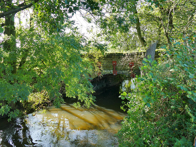
Image: © Stephen Craven Taken: 17 Oct 2019
A bridge over the Cawthorne Dike that gives access to the farm of the same name.
Images are licensed for reuse under creativecommons.org/licenses/by-sa/2.0
Image Location
Latitude
53.573579
Longitude
-1.567158