Weir on the Cawthorne Dike - top view
Introduction
The photograph on this page of Weir on the Cawthorne Dike - top view by Stephen Craven as part of the Geograph project.
The Geograph project started in 2005 with the aim of publishing, organising and preserving representative images for every square kilometre of Great Britain, Ireland and the Isle of Man.

There are currently over 7.5m images from over 14,400 individuals and you can help contribute to the project by visiting https://www.geograph.org.uk
Weir on the Cawthorne Dike - top view
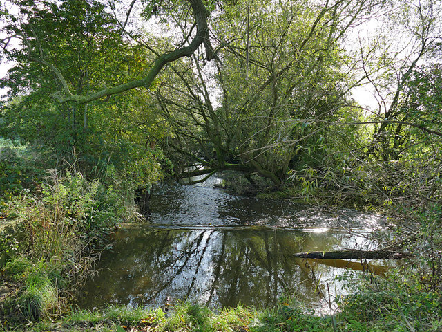
Image: © Stephen Craven Taken: 17 Oct 2019
The weir's purpose was to feed a mill race to a mill several hundred metres further east, of which there is now no trace Image
Images are licensed for reuse under creativecommons.org/licenses/by-sa/2.0
Image Location
Latitude
53.574112
Longitude
-1.565491