Barnes Pond
Introduction
The photograph on this page of Barnes Pond by Marathon as part of the Geograph project.
The Geograph project started in 2005 with the aim of publishing, organising and preserving representative images for every square kilometre of Great Britain, Ireland and the Isle of Man.

There are currently over 7.5m images from over 14,400 individuals and you can help contribute to the project by visiting https://www.geograph.org.uk
Barnes Pond
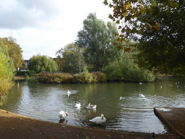
Image: © Marathon Taken: 16 Oct 2019
The freehold of Barnes Pond and Barnes Common is held by the Dean and Chapter of St Paul's Cathedral after the Manor of Barnes was granted to them by the Saxon King Athelstan who reigned from 924 to 938 AD. Since the Metropolitan Act of 1866 Barnes Green has been the responsibility of the local authority. Cattle were grazing on Barnes green well into the 19th century and carts were taken into the pond in the summer so that the water could swell the wooden wheels making them a tight fit in their metal rims. Originally the Great Pond, known today as Barnes Pond, was one of four ponds on the Green, possibly used to water cattle. In 1388, the designated Rector of the nearby St Mary's Church was given the right to keep and catch fish in the Great Pond as well as a smaller pond. For many years Barnes Pond was linked by pipe to the Beverley Brook but since the 1970's it has relied on groundwater, rainwater and mains supplies. In 2001 there was a leak and all the water drained away. During reconstruction it was discovered that the water had disappeared down a long-forgotten pipe beneath the pond which was installed in 1893 and used to flush the sewers with pond water. The pond was reshaped, relined and refilled in 2003.
Images are licensed for reuse under creativecommons.org/licenses/by-sa/2.0
Image Location


Leaflet Map data © OpenStreetMap
Latitude
51.473089
Longitude
-0.246829