Churchfield Lane, Kexborough
Introduction
The photograph on this page of Churchfield Lane, Kexborough by Stephen Craven as part of the Geograph project.
The Geograph project started in 2005 with the aim of publishing, organising and preserving representative images for every square kilometre of Great Britain, Ireland and the Isle of Man.

There are currently over 7.5m images from over 14,400 individuals and you can help contribute to the project by visiting https://www.geograph.org.uk
Churchfield Lane, Kexborough
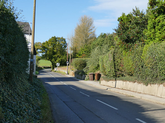
Image: © Stephen Craven Taken: 17 Oct 2019
Looking west, the name becomes Upper Field Lane at some point along here.
Images are licensed for reuse under creativecommons.org/licenses/by-sa/2.0
Image Location
Latitude
53.582336
Longitude
-1.553172