Modern housing at Kirkland Road / Kirkland Fold junction
Introduction
The photograph on this page of Modern housing at Kirkland Road / Kirkland Fold junction by Roger Templeman as part of the Geograph project.
The Geograph project started in 2005 with the aim of publishing, organising and preserving representative images for every square kilometre of Great Britain, Ireland and the Isle of Man.

There are currently over 7.5m images from over 14,400 individuals and you can help contribute to the project by visiting https://www.geograph.org.uk
Modern housing at Kirkland Road / Kirkland Fold junction
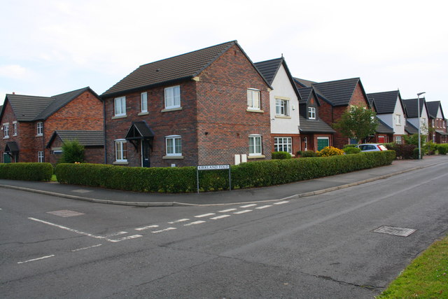
Image: © Roger Templeman Taken: 16 Jul 2019
Fifty years ago there were fields here: Ordnance Survey documents indicate that in 1970 a benchmark levelled at 25.393m above Newlyn Datum was verified on a gatepost about 15m to the right of the present junction
Images are licensed for reuse under creativecommons.org/licenses/by-sa/2.0
Image Location
Latitude
54.827667
Longitude
-3.151381