Church Road
Introduction
The photograph on this page of Church Road by Simon Carey as part of the Geograph project.
The Geograph project started in 2005 with the aim of publishing, organising and preserving representative images for every square kilometre of Great Britain, Ireland and the Isle of Man.

There are currently over 7.5m images from over 14,400 individuals and you can help contribute to the project by visiting https://www.geograph.org.uk
Church Road
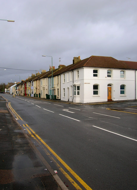
Image: © Simon Carey Taken: 9 Dec 2007
The B2139 linking Wellington Road (A259) with Old Shoreham Road (A270), The row of terraced houses are a reminder of the residential district that once existed here before the removal of most of the houses for slum clearances in the 1950s and replaced with warehouses and factories.
Images are licensed for reuse under creativecommons.org/licenses/by-sa/2.0
Image Location


Leaflet Map data © OpenStreetMap
Latitude
50.832109
Longitude
-0.21344