Low tide at Tayport
Introduction
The photograph on this page of Low tide at Tayport by Oliver Dixon as part of the Geograph project.
The Geograph project started in 2005 with the aim of publishing, organising and preserving representative images for every square kilometre of Great Britain, Ireland and the Isle of Man.

There are currently over 7.5m images from over 14,400 individuals and you can help contribute to the project by visiting https://www.geograph.org.uk
Low tide at Tayport
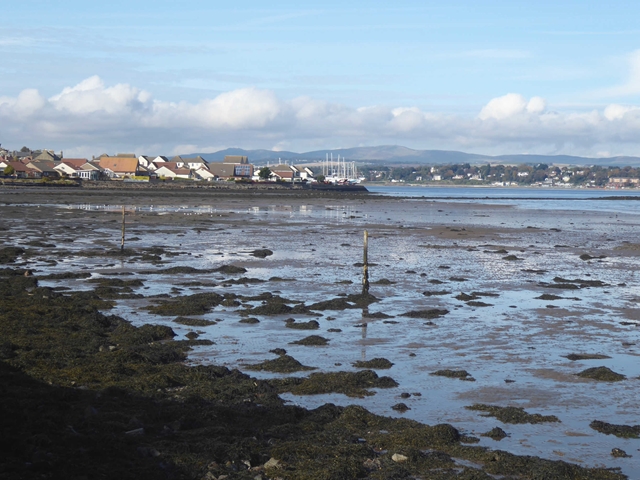
Image: © Oliver Dixon Taken: 14 Oct 2019
Shoreline of the Firth of Tay. Broughty Ferry can be seen on the far shore.
Images are licensed for reuse under creativecommons.org/licenses/by-sa/2.0
Image Location
Latitude
56.447911
Longitude
-2.876117