Old Fortifications, Brompton
Introduction
The photograph on this page of Old Fortifications, Brompton by Danny P Robinson as part of the Geograph project.
The Geograph project started in 2005 with the aim of publishing, organising and preserving representative images for every square kilometre of Great Britain, Ireland and the Isle of Man.

There are currently over 7.5m images from over 14,400 individuals and you can help contribute to the project by visiting https://www.geograph.org.uk
Old Fortifications, Brompton
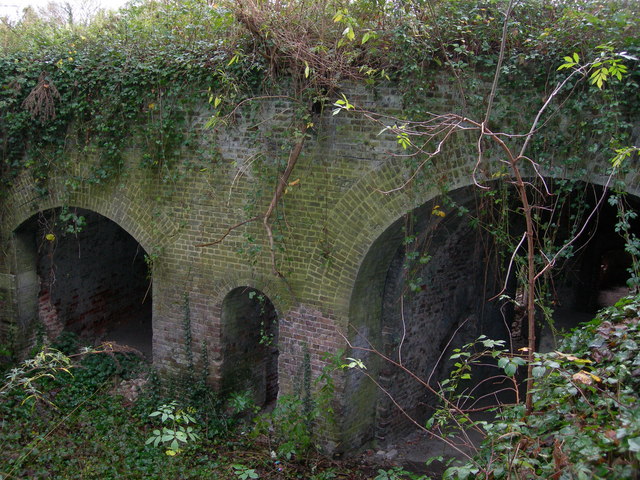
Image: © Danny P Robinson Taken: 9 Dec 2007
It is not possible for members of the public to get any closer to this, legally. I am not sure what exactly this structure is for, suggestions and comments would be welcome.
Images are licensed for reuse under creativecommons.org/licenses/by-sa/2.0
Image Location
Latitude
51.388187
Longitude
0.530966