Salterland Viaduct
Introduction
The photograph on this page of Salterland Viaduct by Richard Sutcliffe as part of the Geograph project.
The Geograph project started in 2005 with the aim of publishing, organising and preserving representative images for every square kilometre of Great Britain, Ireland and the Isle of Man.

There are currently over 7.5m images from over 14,400 individuals and you can help contribute to the project by visiting https://www.geograph.org.uk
Salterland Viaduct
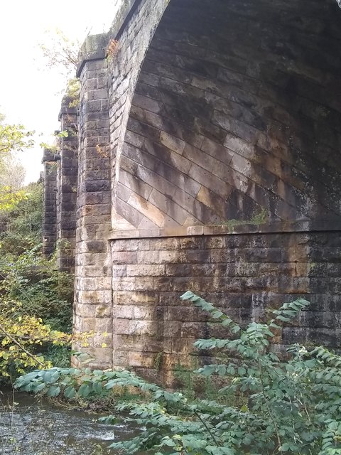
Image: © Richard Sutcliffe Taken: 15 Oct 2019
This view of the 1847 railway viaduct, erected in 1847 by the Glasgow, Barrhead and Neilston Direct Railway, shows clearly the large skewed ashlar blocks in the arch over the Levern Water. The viaduct is Category B listed.
Images are licensed for reuse under creativecommons.org/licenses/by-sa/2.0
Image Location
Latitude
55.81245
Longitude
-4.375153