Prestonfield, Milngavie
Introduction
The photograph on this page of Prestonfield, Milngavie by Richard Dorrell as part of the Geograph project.
The Geograph project started in 2005 with the aim of publishing, organising and preserving representative images for every square kilometre of Great Britain, Ireland and the Isle of Man.

There are currently over 7.5m images from over 14,400 individuals and you can help contribute to the project by visiting https://www.geograph.org.uk
Prestonfield, Milngavie
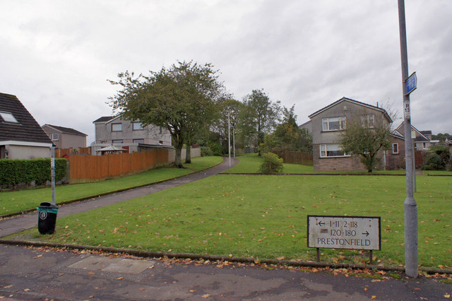
Image: © Richard Dorrell Taken: 6 Oct 2019
Prestonfield is an estate, not a single road. The estate is comprised of a loop of road spawning a number of short residential cul-de-sacs. This image is of a pedestrian access through the middle of the estate, viewed from the western end of South Mains Road.
Images are licensed for reuse under creativecommons.org/licenses/by-sa/2.0
Image Location
Latitude
55.937443
Longitude
-4.329478