Row of shops on the south side of the A549 Chester Road, Buckley
Introduction
The photograph on this page of Row of shops on the south side of the A549 Chester Road, Buckley by Jaggery as part of the Geograph project.
The Geograph project started in 2005 with the aim of publishing, organising and preserving representative images for every square kilometre of Great Britain, Ireland and the Isle of Man.

There are currently over 7.5m images from over 14,400 individuals and you can help contribute to the project by visiting https://www.geograph.org.uk
Row of shops on the south side of the A549 Chester Road, Buckley
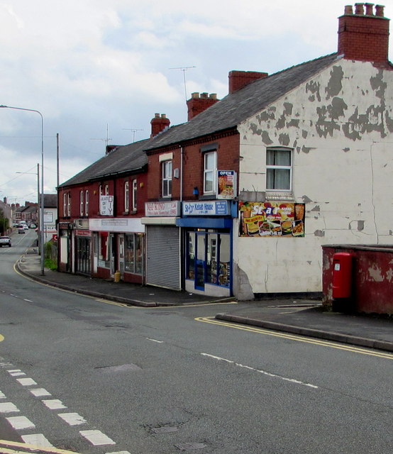
Image: © Jaggery Taken: 12 Oct 2019
Star Kebab House https://www.geograph.org.uk/photo/6296174 is on the right.
Images are licensed for reuse under creativecommons.org/licenses/by-sa/2.0
Image Location
Latitude
53.166704
Longitude
-3.067833