The Birdwalk, Clayton Heights
Introduction
The photograph on this page of The Birdwalk, Clayton Heights by Stephen Craven as part of the Geograph project.
The Geograph project started in 2005 with the aim of publishing, organising and preserving representative images for every square kilometre of Great Britain, Ireland and the Isle of Man.

There are currently over 7.5m images from over 14,400 individuals and you can help contribute to the project by visiting https://www.geograph.org.uk
The Birdwalk, Clayton Heights
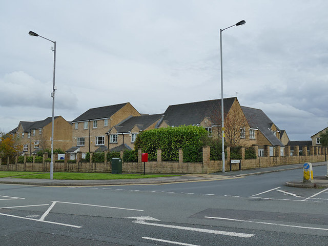
Image: © Stephen Craven Taken: 12 Oct 2019
What was previously called Dan Lane has been renamed the Birdwalk as the spine road of a housing development with each block of housing named after a particular species - the ones in this photo being Bittern Court.
Images are licensed for reuse under creativecommons.org/licenses/by-sa/2.0
Image Location
Latitude
53.771963
Longitude
-1.818349