The Boar's Head, Clayton Heights
Introduction
The photograph on this page of The Boar's Head, Clayton Heights by Stephen Craven as part of the Geograph project.
The Geograph project started in 2005 with the aim of publishing, organising and preserving representative images for every square kilometre of Great Britain, Ireland and the Isle of Man.

There are currently over 7.5m images from over 14,400 individuals and you can help contribute to the project by visiting https://www.geograph.org.uk
The Boar's Head, Clayton Heights
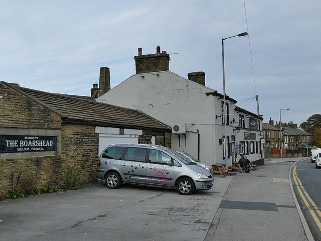
Image: © Stephen Craven Taken: 12 Oct 2019
This pub is not as old as the former Nag's Head Image next door, but has remained open after the latter closed.
Images are licensed for reuse under creativecommons.org/licenses/by-sa/2.0
Image Location
Latitude
53.772323
Longitude
-1.818348