Lindisfarne Road
Introduction
The photograph on this page of Lindisfarne Road by Ian Capper as part of the Geograph project.
The Geograph project started in 2005 with the aim of publishing, organising and preserving representative images for every square kilometre of Great Britain, Ireland and the Isle of Man.

There are currently over 7.5m images from over 14,400 individuals and you can help contribute to the project by visiting https://www.geograph.org.uk
Lindisfarne Road
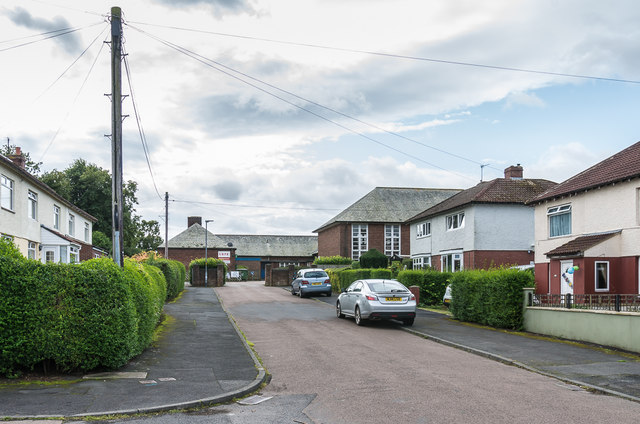
Image: © Ian Capper Taken: 19 Aug 2019
1930s housing off Swansfield Park Road. In the background is Alnwick Adult Learning Centre, housed in the buildings of the former Lindisfarne County Middle School, which closed in 2017 (previously the Alnwick County Secondary Modern School).
Images are licensed for reuse under creativecommons.org/licenses/by-sa/2.0
Image Location
Latitude
55.405513
Longitude
-1.701536