Hill Crest farm buildings at approach to road junction
Introduction
The photograph on this page of Hill Crest farm buildings at approach to road junction by Roger Templeman as part of the Geograph project.
The Geograph project started in 2005 with the aim of publishing, organising and preserving representative images for every square kilometre of Great Britain, Ireland and the Isle of Man.

There are currently over 7.5m images from over 14,400 individuals and you can help contribute to the project by visiting https://www.geograph.org.uk
Hill Crest farm buildings at approach to road junction
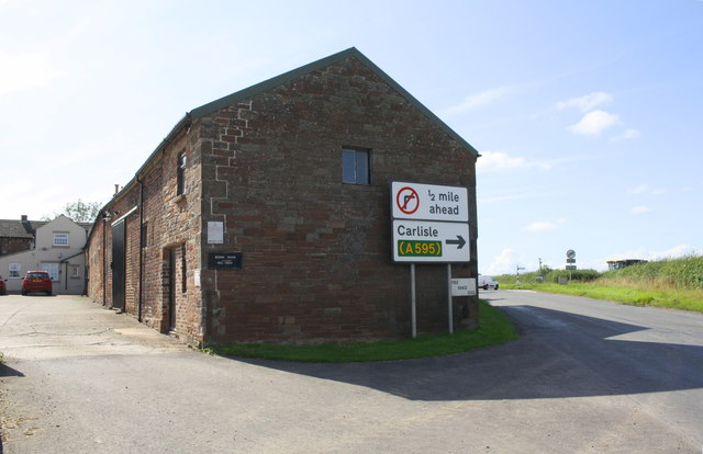
Image: © Roger Templeman Taken: 8 Aug 2019
There is an Ordnance Survey flush bracket benchmark Image on the right hand corner of the building below a 'free range eggs' notice
Images are licensed for reuse under creativecommons.org/licenses/by-sa/2.0
Image Location
Latitude
54.851234
Longitude
-3.00751