Lisleitrim Fort from the Lisleitrim Road
Introduction
The photograph on this page of Lisleitrim Fort from the Lisleitrim Road by Eric Jones as part of the Geograph project.
The Geograph project started in 2005 with the aim of publishing, organising and preserving representative images for every square kilometre of Great Britain, Ireland and the Isle of Man.

There are currently over 7.5m images from over 14,400 individuals and you can help contribute to the project by visiting https://www.geograph.org.uk
Lisleitrim Fort from the Lisleitrim Road
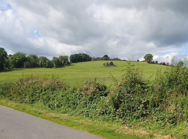
Image: © Eric Jones Taken: 28 Aug 2019
The fort caps the hill top. The ruins in the centre of the slope dates back only to the 19thC. A multi-vallate fort, Lisleitrim dates from the Early Christian Period. https://apps.communities-ni.gov.uk/NISMR-PUBLIC/docs/ARM/ARM_027/ARM_027_003/Public/SM7-ARM-027-003.pdf
Images are licensed for reuse under creativecommons.org/licenses/by-sa/2.0
Image Location
Latitude
54.127467
Longitude
-6.618424