Bannel Lane bungalows, Buckley
Introduction
The photograph on this page of Bannel Lane bungalows, Buckley by Jaggery as part of the Geograph project.
The Geograph project started in 2005 with the aim of publishing, organising and preserving representative images for every square kilometre of Great Britain, Ireland and the Isle of Man.

There are currently over 7.5m images from over 14,400 individuals and you can help contribute to the project by visiting https://www.geograph.org.uk
Bannel Lane bungalows, Buckley
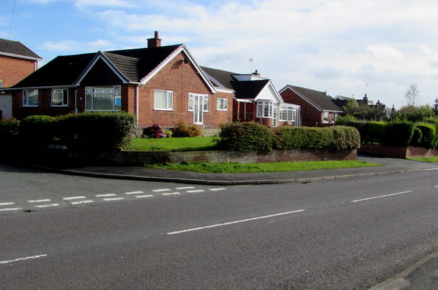
Image: © Jaggery Taken: 12 Oct 2019
The corner of Westbury Drive https://www.geograph.org.uk/photo/6295276 is on the left.
Images are licensed for reuse under creativecommons.org/licenses/by-sa/2.0
Image Location
Latitude
53.164317
Longitude
-3.063287