Golf Club Road
Introduction
The photograph on this page of Golf Club Road by Malcolm Neal as part of the Geograph project.
The Geograph project started in 2005 with the aim of publishing, organising and preserving representative images for every square kilometre of Great Britain, Ireland and the Isle of Man.

There are currently over 7.5m images from over 14,400 individuals and you can help contribute to the project by visiting https://www.geograph.org.uk
Golf Club Road
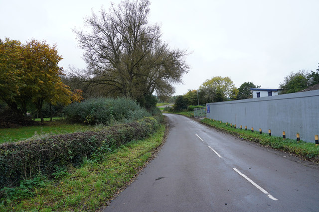
Image: © Malcolm Neal Taken: 15 Oct 2019
With some sort of development to the right, Golf Club Road bends to the left to eventually meet the golf club which houses the Erewash Valley Golf Course.
Images are licensed for reuse under creativecommons.org/licenses/by-sa/2.0
Image Location
Latitude
52.939701
Longitude
-1.289896