Church Street, Thomastown
Introduction
The photograph on this page of Church Street, Thomastown by Eirian Evans as part of the Geograph project.
The Geograph project started in 2005 with the aim of publishing, organising and preserving representative images for every square kilometre of Great Britain, Ireland and the Isle of Man.

There are currently over 7.5m images from over 14,400 individuals and you can help contribute to the project by visiting https://www.geograph.org.uk
Church Street, Thomastown
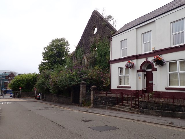
Image: © Eirian Evans Taken: 22 Jul 2019
The facade of the Miners' Hall stands on Church Street, formerly Shiloh Welsh Wesleyan Chapel. http://www.merthyr-history.com/?p=936 It was destroyed by fire in 1992.
Images are licensed for reuse under creativecommons.org/licenses/by-sa/2.0
Image Location
Latitude
51.746784
Longitude
-3.376737