St John's Church, Libanus
Introduction
The photograph on this page of St John's Church, Libanus by Eirian Evans as part of the Geograph project.
The Geograph project started in 2005 with the aim of publishing, organising and preserving representative images for every square kilometre of Great Britain, Ireland and the Isle of Man.

There are currently over 7.5m images from over 14,400 individuals and you can help contribute to the project by visiting https://www.geograph.org.uk
St John's Church, Libanus
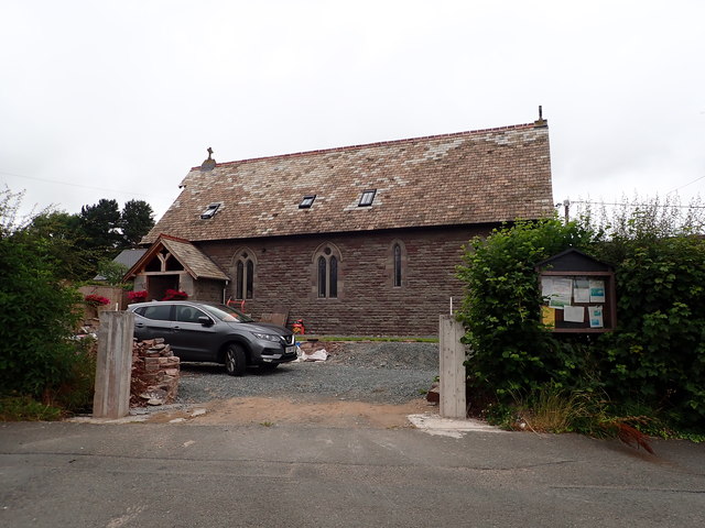
Image: © Eirian Evans Taken: 22 Jul 2019
The church, built in 1891, is in the middle of the village of Libanus alongside the main A470 just four miles after it leaves Brecon on its way South to Merthyr. It has now been deconsecrated and is being converted into a home.
Images are licensed for reuse under creativecommons.org/licenses/by-sa/2.0
Image Location
Latitude
51.923501
Longitude
-3.46343