Finkle Street from the pinfold
Introduction
The photograph on this page of Finkle Street from the pinfold by John S Turner as part of the Geograph project.
The Geograph project started in 2005 with the aim of publishing, organising and preserving representative images for every square kilometre of Great Britain, Ireland and the Isle of Man.

There are currently over 7.5m images from over 14,400 individuals and you can help contribute to the project by visiting https://www.geograph.org.uk
Finkle Street from the pinfold
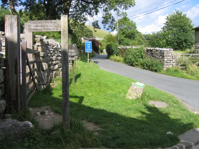
Image: © John S Turner Taken: 30 Jul 2007
Looking east along Finkle Street as it heads for the hills outside Malham. The pinfold is on the left, with the descriptive plaque on the block of stone in the centre of the photo. See also Image
Images are licensed for reuse under creativecommons.org/licenses/by-sa/2.0
Image Location
Latitude
54.06204
Longitude
-2.151521