Priest House, Brunswick Road, Buckley
Introduction
The photograph on this page of Priest House, Brunswick Road, Buckley by Jaggery as part of the Geograph project.
The Geograph project started in 2005 with the aim of publishing, organising and preserving representative images for every square kilometre of Great Britain, Ireland and the Isle of Man.

There are currently over 7.5m images from over 14,400 individuals and you can help contribute to the project by visiting https://www.geograph.org.uk
Priest House, Brunswick Road, Buckley
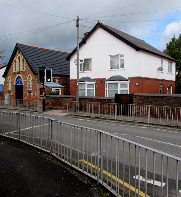
Image: © Jaggery Taken: 12 Oct 2019
The name on the brick house wall is PRIEST HOUSE. Buckley Christian Centre https://www.geograph.org.uk/photo/6295701 is on the left.
Images are licensed for reuse under creativecommons.org/licenses/by-sa/2.0
Image Location
Latitude
53.167298
Longitude
-3.071737