Looking down the length of Durham Road, South Stanley
Introduction
The photograph on this page of Looking down the length of Durham Road, South Stanley by Robert Graham as part of the Geograph project.
The Geograph project started in 2005 with the aim of publishing, organising and preserving representative images for every square kilometre of Great Britain, Ireland and the Isle of Man.

There are currently over 7.5m images from over 14,400 individuals and you can help contribute to the project by visiting https://www.geograph.org.uk
Looking down the length of Durham Road, South Stanley
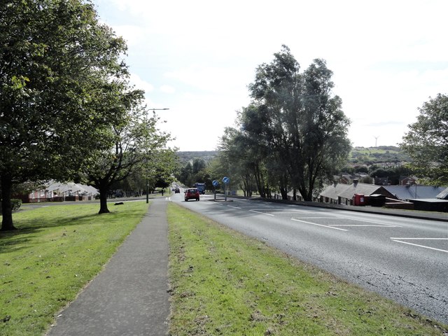
Image: © Robert Graham Taken: 16 Sep 2019
The suburb of South Stanley occupies the hillside below the town centre. The first council houses were built here in the 1930's I believe, and further estates were built in the 40's and early 50's. More were added in the later 20th century.
Images are licensed for reuse under creativecommons.org/licenses/by-sa/2.0
Image Location
Latitude
54.863457
Longitude
-1.685889