Harestone Hill and Upper Harestone, near Caterham
Introduction
The photograph on this page of Harestone Hill and Upper Harestone, near Caterham by Malc McDonald as part of the Geograph project.
The Geograph project started in 2005 with the aim of publishing, organising and preserving representative images for every square kilometre of Great Britain, Ireland and the Isle of Man.

There are currently over 7.5m images from over 14,400 individuals and you can help contribute to the project by visiting https://www.geograph.org.uk
Harestone Hill and Upper Harestone, near Caterham
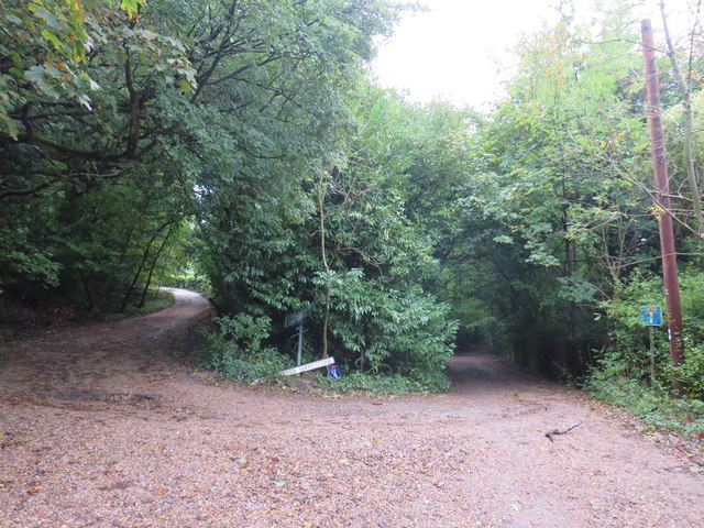
Image: © Malc McDonald Taken: 12 Oct 2019
The junction of Harestone Hill and Upper Harestone in woodland near Caterham. These are private roads with restricted access for motor vehicles, but are public rights of way as bridleways. Despite their names, Upper Harestone is the track descending to the right while Harestone Hill rises to the left.
Images are licensed for reuse under creativecommons.org/licenses/by-sa/2.0
Image Location
Latitude
51.268532
Longitude
-0.076581