Riverhead Parkland
Introduction
The photograph on this page of Riverhead Parkland by ponponjo as part of the Geograph project.
The Geograph project started in 2005 with the aim of publishing, organising and preserving representative images for every square kilometre of Great Britain, Ireland and the Isle of Man.

There are currently over 7.5m images from over 14,400 individuals and you can help contribute to the project by visiting https://www.geograph.org.uk
Riverhead Parkland
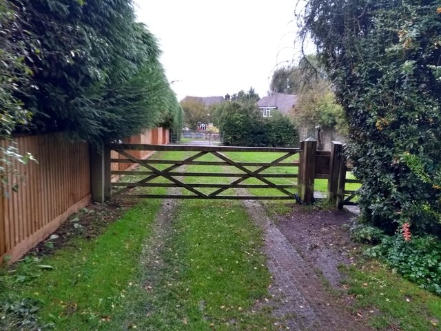
Image: © ponponjo Taken: 12 Oct 2019
The exit from Riverhead Parkland onto St Mary's Drive. The parkland used to be part of Montreal Park, the grounds of Field Marshall Jeffery Amherst, who commandeered the British campaign against New France during the Seven Years War.
Images are licensed for reuse under creativecommons.org/licenses/by-sa/2.0
Image Location
Latitude
51.28214
Longitude
0.168769