St Andrew's Church
Introduction
The photograph on this page of St Andrew's Church by Roger Templeman as part of the Geograph project.
The Geograph project started in 2005 with the aim of publishing, organising and preserving representative images for every square kilometre of Great Britain, Ireland and the Isle of Man.

There are currently over 7.5m images from over 14,400 individuals and you can help contribute to the project by visiting https://www.geograph.org.uk
St Andrew's Church
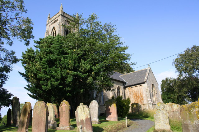
Image: © Roger Templeman Taken: 13 Aug 2019
Ordnance Survey documents indicate that a benchmark was levelled at 124.413 feet above Liverpool Datum on a church at this location during the 1843/4 Kirkby Kendal to Carlisle Survey. The surveyor's description was 'Branch Levelling. No. 361. Thursby Church. Bolt in plinth of pillar at West side'. However, the present church was built in 1846.
Images are licensed for reuse under creativecommons.org/licenses/by-sa/2.0
Image Location
Latitude
54.842659
Longitude
-3.054169