The A44 Road (Leominster)
Introduction
The photograph on this page of The A44 Road (Leominster) by Fabian Musto as part of the Geograph project.
The Geograph project started in 2005 with the aim of publishing, organising and preserving representative images for every square kilometre of Great Britain, Ireland and the Isle of Man.

There are currently over 7.5m images from over 14,400 individuals and you can help contribute to the project by visiting https://www.geograph.org.uk
The A44 Road (Leominster)
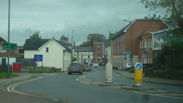
Image: © Fabian Musto Taken: 12 Oct 2019
The main road at Leominster has this nice view of the town, and the bell tower of Leominster Priory can be seen in the distance.
Images are licensed for reuse under creativecommons.org/licenses/by-sa/2.0
Image Location
Latitude
52.228306
Longitude
-2.741804