Park Dale Green End
Introduction
The photograph on this page of Park Dale Green End by Gordon Griffiths as part of the Geograph project.
The Geograph project started in 2005 with the aim of publishing, organising and preserving representative images for every square kilometre of Great Britain, Ireland and the Isle of Man.

There are currently over 7.5m images from over 14,400 individuals and you can help contribute to the project by visiting https://www.geograph.org.uk
Park Dale Green End
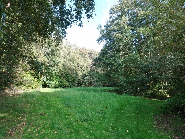
Image: © Gordon Griffiths Taken: 6 Oct 2019
The view off the Tettenhall Road in Wolverhampton.
Images are licensed for reuse under creativecommons.org/licenses/by-sa/2.0
Image Location
Latitude
52.590152
Longitude
-2.144615