Jointon Mews, Jointon Road
Introduction
The photograph on this page of Jointon Mews, Jointon Road by John Baker as part of the Geograph project.
The Geograph project started in 2005 with the aim of publishing, organising and preserving representative images for every square kilometre of Great Britain, Ireland and the Isle of Man.

There are currently over 7.5m images from over 14,400 individuals and you can help contribute to the project by visiting https://www.geograph.org.uk
Jointon Mews, Jointon Road
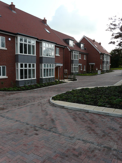
Image: © John Baker Taken: 6 Oct 2019
The houses were built on the Image to the left of the tree, under which a blue car was parked.
Images are licensed for reuse under creativecommons.org/licenses/by-sa/2.0
Image Location
Latitude
51.080179
Longitude
1.167812