Field near Blakewell
Introduction
The photograph on this page of Field near Blakewell by Derek Harper as part of the Geograph project.
The Geograph project started in 2005 with the aim of publishing, organising and preserving representative images for every square kilometre of Great Britain, Ireland and the Isle of Man.

There are currently over 7.5m images from over 14,400 individuals and you can help contribute to the project by visiting https://www.geograph.org.uk
Field near Blakewell
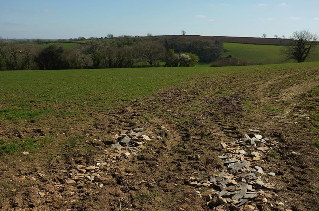
Image: © Derek Harper Taken: 11 Apr 2019
With a view across the Beenleigh Brook valley to Hasting Copse. Taken from a gateway on the other side of the lane from Image] .
Images are licensed for reuse under creativecommons.org/licenses/by-sa/2.0
Image Location


Leaflet Map data © OpenStreetMap
Latitude
50.396273
Longitude
-3.76256