Victoria Road, Beverley
Introduction
The photograph on this page of Victoria Road, Beverley by Paul Harrop as part of the Geograph project.
The Geograph project started in 2005 with the aim of publishing, organising and preserving representative images for every square kilometre of Great Britain, Ireland and the Isle of Man.

There are currently over 7.5m images from over 14,400 individuals and you can help contribute to the project by visiting https://www.geograph.org.uk
Victoria Road, Beverley
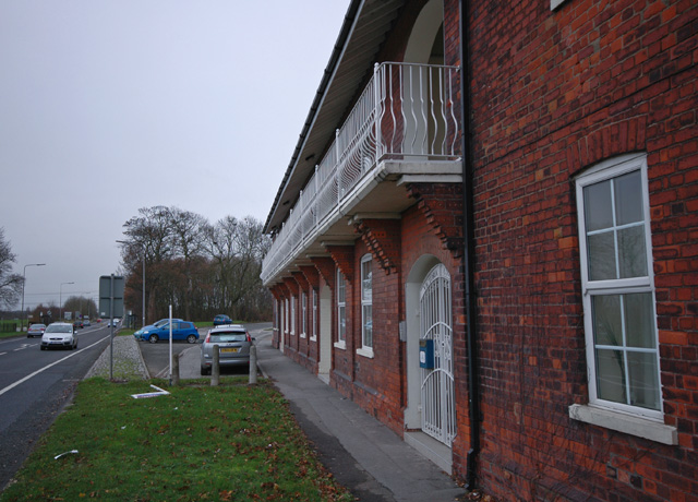
Image: © Paul Harrop Taken: 8 Dec 2007
Victoria Road is the one curving away to the right of the picture; the A164 is on the left. To the right are Victoria Cottages, a row of nine houses built in 1883 as part of former whiting works.
Images are licensed for reuse under creativecommons.org/licenses/by-sa/2.0
Image Location
Latitude
53.822648
Longitude
-0.441492