Junction, Studland
Introduction
The photograph on this page of Junction, Studland by Derek Harper as part of the Geograph project.
The Geograph project started in 2005 with the aim of publishing, organising and preserving representative images for every square kilometre of Great Britain, Ireland and the Isle of Man.

There are currently over 7.5m images from over 14,400 individuals and you can help contribute to the project by visiting https://www.geograph.org.uk
Junction, Studland
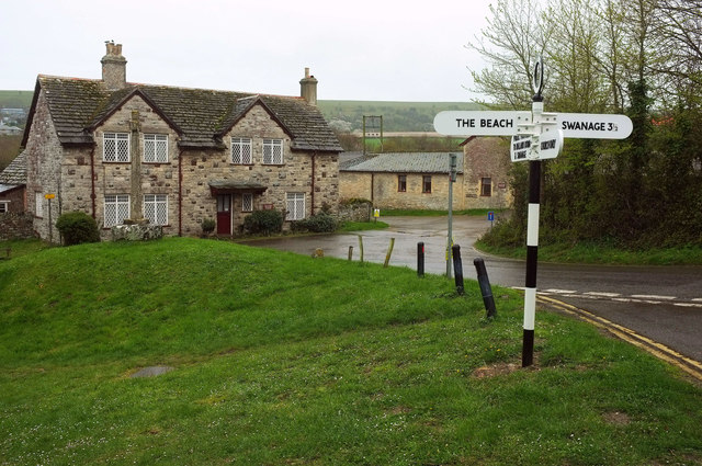
Image: © Derek Harper Taken: 5 Apr 2019
A slightly staggered crossroads, with Manor Farm in the background - the cross http://www.waymarking.com/waymarks/WM54CA_Studland_Cross_Studland_Isle_of_Purbeck_Dorset shown in http://www.geograph.org.uk/search.php?i=102850309 can be seen in front of the left gable.
Images are licensed for reuse under creativecommons.org/licenses/by-sa/2.0
Image Location
Latitude
50.641009
Longitude
-1.950026